Image 1 of 10 Of: Weather Copyright: brit-siv@obskorps
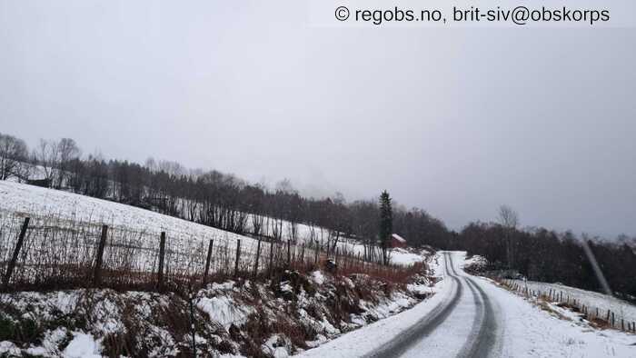
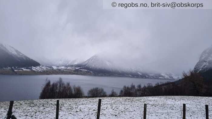
Image 2 of 10 Of: Weather Copyright: brit-siv@obskorps Comment: Lågt skydekke og snø. Nedbør som regn under 300 moh på ettermiddagen
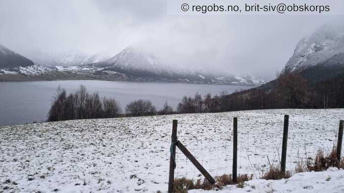
Image 3 of 10 Of: Snow Cover Copyright: brit-siv@obskorps Comment: Så vidt nokon cm nysnø på 3-400 moh
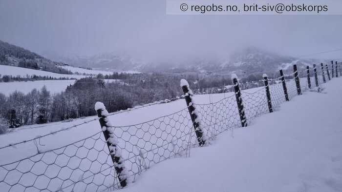
Image 4 of 10 Of: Snow Cover Copyright: brit-siv@obskorps
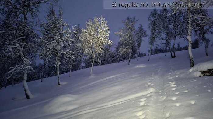
Image 5 of 10 Of: Snow Cover Copyright: brit-siv@obskorps
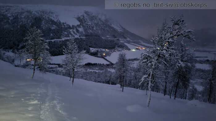
Image 6 of 10 Of: Snow Cover Copyright: brit-siv@obskorps Comment: På 600 moh 45-50 cm snødjupne, vått snødekke i botnen med 20 cm nysnø oppå.
Image 7 of 10 Of: Snow Cover Copyright: brit-siv@obskorps Comment: Gjenføyka skispor frå tidlegare i dag frå ca 700 moh
Image 8 of 10 Of: Snow Cover Copyright: brit-siv@obskorps
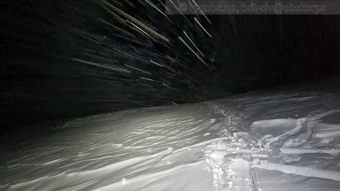
Image 9 of 10 Of: Snow Cover Copyright: brit-siv@obskorps Comment: Vindpåvirka snøoverflate
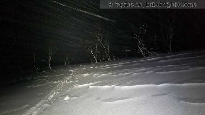
Image 10 of 10 Of: Snow Cover Copyright: brit-siv@obskorps
Danger Sign
• Recent snowdrift • Område: Fylket/varslingsregionen. Skildring: Frå ca 700 moh, vindtransportert nysnø frå nordvestleg retning.
Avalanche Activity
• 27. Jan. During the day (+01:00) • No avalanche activity
Weather
• Snow • -1 °C • 8 m/s from NW ↘ • 100% clouds • Regn i låglandet, synkande nysnøgrense til ca 300 moh i løpet av ettermiddagen. Vind og snøfokk frå ca 700 moh.
Snow Cover
• 100 cm • Moderate snow drift • 20 cm • Elevation of new snow 300 masl. Snow line at 300 masl • Storm slab (soft slab) • Dry • Nokon få cm våt nysnø frå ca 3-400 moh. Raskt aukande snømengde. Frå ca 400 moh. ligg det att av det gamle snødekket under nysnøen. På 600 moh samla snødjupne på 45-50 cm, med ca 20 cm nysnø frå siste døgn oppå vått snødekke. Varierande snøoverflate pga vindtransport frå ca 700 moh. Avblåste ryggar ned på porøs skare, og ellers vekslande med mjuke nysnøflak og ubunden laussnø i skjerma formasjoner. Mykje nysnø og har vore stor vindtransport.
Tests
• LBT@20cm(Q1) • Lett å løyse ut
Snow Profile
• E • 9 Stratigraphy layers • 5 temperature points observed
Avalanche Problems
• Dry slab avalanche • Buried weak layer of new snow • Within half a meter • The weak layer collapses easily and clean (easy propagation). The overlying slab is soft. • Easy to trigger • 3 - Large • Few steep slopes NE, E, SE, S, SW above 700 masl • Lett å løyse ut, kan også løsne naturleg enkelte heng med stor pålagring. Mykje nysnø og vindtransportert snø kan gi enkelte store skred, mens fleire plassar vil være utsatt for str 2 skred.
Avalanche Danger Assessment
• Mykje nysnø i kombinasjon med vindtransport har gitt stor pålagring og danna ustabile nysnøflak som vil være lett å løyse ut. Kan også løsne naturleg enkelte utsatte stader. • Mykje nysnø tilgjengeleg for vindtransport, vil opprettholde skredproblemet med ustabile nysnøflak. Litt rolegare ver fredag før aukande nedbør igjen laurdag så skredfaren vil vedvare dei første dagane • 3 Considerable • Forecast correct

